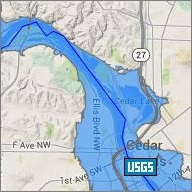
We recognize that many of our partners might be dealing with the current COVID-19 crisis and flooding simultaneously. To help you be prepared, IFIS has a new map layer for COVID - Check out new layer here!

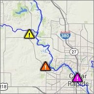
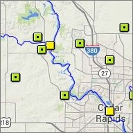
IFIS Widget
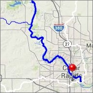
Video Guide
Text Alerts